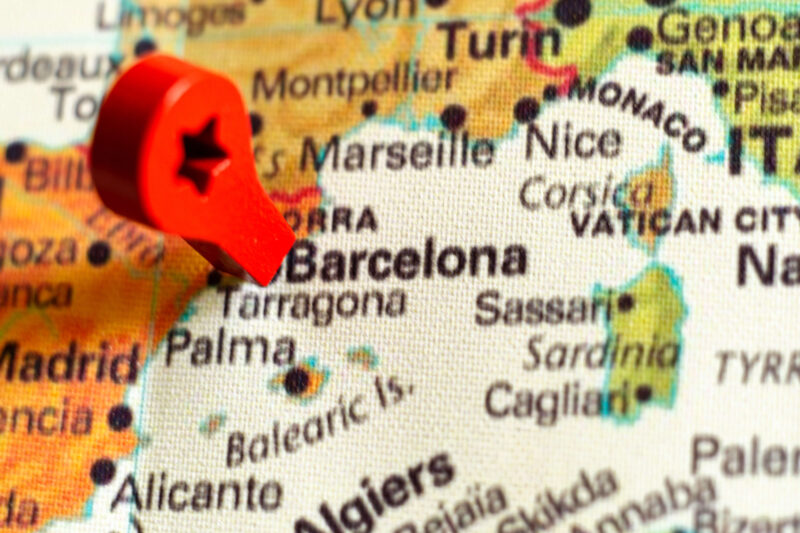
Where exactly is the Fira de Santa Llúcia? How far is the Port Vell Christmas market from the Cathedral, and which metro takes you to Els Llums de Sant Pau? The Winter Festival Barcelona map answers all of it at a glance. We’ve placed every Christmas market, light show, ice rink, Gaudí highlight and event location of Winter Festival Barcelona 2026/27 on one interactive Google map, with layers you can switch on and off and our two walking routes drawn in.
Gaudí fans: all of Gaudí’s buildings in Barcelona, including Casa Vicens, Palau Güell and the lesser-known works, are on the Gaudí map of our sister site Visit Gaudí.
What is on the map
The map is organised in layers. Christmas markets: the Fira de Santa Llúcia at the Cathedral, the Fira de Nadal at the Sagrada Família, the market at Port Vell and the Fira de Reis on Gran Via. Light shows and events: Casa Batlló’s Winter Night, Els Llums de Sant Pau, the New Year’s Eve celebration at Plaça d’Espanya and the route of the Three Kings Parade. Highlights: the Sagrada Família, Park Güell, La Pedrera, the Cathedral, Plaça de Catalunya and the harbour. Practical: ice rinks, the stops of the Christmas Bus Tour, the main shopping streets, Sants station and the metro stations you’ll need.
How to use the map
Tap the icon in the top-left corner to open the legend and switch layers on or off – for example only the markets and the metro. Tap any marker for a short description and a link to our page with dates, opening hours and tickets. On your phone, tap the square icon in the top-right corner to open the map in the Google Maps app; it then follows your location and can give you walking directions from marker to marker. Save the map to your Google account and it stays in the app for your whole trip.
Suggested routes and distances
Almost everything on the map lies within a triangle between Plaça de Catalunya, the harbour and the Sagrada Família, roughly three kilometres on each side. The old town cluster – Cathedral, Santa Llúcia market, Plaça Sant Jaume, El Born and Port Vell – is walkable in an afternoon; the Eixample cluster – Passeig de Gràcia, Casa Batlló, La Pedrera, Sagrada Família and Sant Pau – is an evening. Both are worked out step by step in the Winter Festival Barcelona Walk. For anything further out, such as Park Güell, the Camp Nou ice rink or La Roca Village, the map shows the metro line or bus to take; see our metro guide.
| From | To | Walking | Metro |
|---|---|---|---|
| Plaça de Catalunya | Cathedral / Fira de Santa Llúcia | 7 min | – |
| Cathedral | Port Vell market | 15 min | L4 Jaume I → Barceloneta |
| Plaça de Catalunya | Casa Batlló | 10 min | L3 Passeig de Gràcia |
| Casa Batlló | Sagrada Família | 25 min | L2/L5 Sagrada Família |
| Sagrada Família | Sant Pau light festival | 10 min | – |
| Plaça de Catalunya | Plaça d’Espanya (New Year’s Eve) | 35 min | L1/L3 Espanya |
Getting around in winter
Barcelona’s metro runs until midnight on weekdays, 02:00 on Fridays and all night on Saturdays and on New Year’s Eve; a T-casual ticket gives ten journeys. Most markers on the map are within a five-minute walk of a metro station. Winter days are short – sunset is around 17:20 in December – so plan the outdoor highlights for the morning and the light shows and markets for the afternoon and evening. Our weather and sunset guide has the details, and our 100 FAQs answer the practical questions.
Tickets for the places on the map
Many of the places on the map – the Sagrada Família, Park Güell, Casa Batlló, Sant Pau – use timed tickets that sell out in December. Book your Barcelona tickets in advance or combine the Gaudí highlights with the Barcelona Pass. Current offers:
Hotels in the centre of the map
The best base for the map is the triangle between Plaça de Catalunya, the Gothic Quarter and the lower Eixample: everything is within walking distance or a few metro stops. Our guide to hotels during Winter Festival Barcelona compares the neighbourhoods. Check availability on the map:
Booking.comFrequently asked questions
Can I use the map offline?
Open it in the Google Maps app and download the Barcelona area for offline use; the base map then works without data. The markers of a saved custom map need a connection the first time you open them.
Is the map updated for 2026/27?
Yes. We update the markers and dates as soon as the organisers confirm the programme, usually in October and November. Each marker links to our page with the latest information.
Do I need a car?
No. Everything on the map is reachable on foot or by metro and bus, and parking in the centre is expensive. If you do drive, see our parking guide.
One map, one winter: markets, lights, Gaudí and the harbour, all within a few kilometres. Save it to your phone, pick a route and let Barcelona do the rest.
Plan your Winter Festival Barcelona with the map. Book your tickets and hotel now!


